Learn to Navigate
Coastal Navigation
ASA 105
201-449-4747
Highlights
- Classroom-Only Course
- ASA 105 Certification
- Small Group Instruction
What You'll Learn
Confident sailors don’t rely solely on electronics—they understand how to navigate.
ASA 105 Coastal Navigation provides the knowledge and practical skills needed to safely plan and navigate coastal passages using nautical charts, tides, currents, GPS, and traditional navigation techniques. Whether you’re preparing for bareboat charters, cruising your own boat, or continuing toward advanced certifications, this course lays the foundation for safe and confident navigation. It is also a prerequisite for ASA 106 Advanced Coastal Cruising.
Throughout this course, you’ll learn how to:
- Chart Navigation
- Read and interpret NOAA nautical charts
- Understand chart symbols, depths, hazards, and aids to navigation
- Plot courses using parallel rulers and dividers
- Measure distances and determine true and magnetic courses
- Position Fixing
- Plot your vessel’s position on a chart
- Determine bearings and fixes using visual references
- Calculate course, speed, distance, and estimated time of arrival (ETA)
- Understand running fixes and dead reckoning
- Tides & Currents
- Read tide tables and current predictions
- Calculate the effects of tidal currents on your course
- Determine set and drift
- Plan departures and arrivals based on tidal conditions
- Navigation Equipment
- Use GPS and electronic navigation systems effectively
- Understand compass variation and deviation
- Navigate using both electronic and traditional methods
- Develop backup navigation skills should electronics fail
- Aids to Navigation
- Identify buoys, beacons, lights, and daymarks
- Understand the U.S. buoyage system
- Interpret light characteristics for safe nighttime navigation
- Cruise Planning
- Plan safe coastal passages
- Evaluate weather forecasts and their impact on navigation
- Select routes, alternate harbors, and safe anchorages
- Prepare navigation plans for day and overnight cruising
- Navigation Calculations
- Solve real-world navigation problems
- Calculate speed, time, and distance
- Apply current and leeway corrections
- Build confidence making navigational decisions independently
By the End of the Course
Successful students will be able to confidently plan and navigate coastal voyages using charts, navigation tools, GPS, tides, and currents. You’ll have the knowledge to safely prepare for coastal cruising, bareboat charters, and advanced offshore sailing while making sound navigational decisions in changing conditions.
Why Learn with True North Sailing Center?
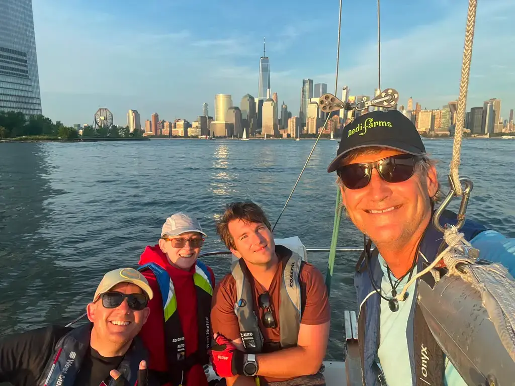
New York Harbor offers one of the most dynamic navigation environments in the country. Busy commercial traffic, strong tidal currents, bridges, restricted channels, and constantly changing conditions make it an ideal classroom for developing practical navigation skills.
At True North Sailing Center, we teach navigation as a real-world skill—not just an academic exercise. Our goal is to help you understand why navigational decisions are made so you can confidently plan and execute your own cruising adventures.
Topics Include
- Nautical Charts
- Coastal Piloting
- Chart Plotting
- Dead Reckoning & Position Fixing
- Compass Navigation
- Tides & Currents
- Electronic Navigation
- Voyage Planning
- Weather & Navigation
- Navigation Publications
Prerequisite
No prerequisite required.
Course Format
This course includes four 7-hour classroom sessions that run from 10 a.m. to 5 p.m.
Coastal Navigation
ASA 105-
All Course Materials
-
A.S.A. Certification Exam
Course Schedule
Start Date
Nov 14-
Nov 14, 15, 21 & 22
-
10AM – 5PM
-
Weekend Format
Start Date
Dec 12-
Dec. 12, 13, 19 & 20
-
10AM – 5PM
-
Weekend Format